 Sparks
About the work
A closer look.
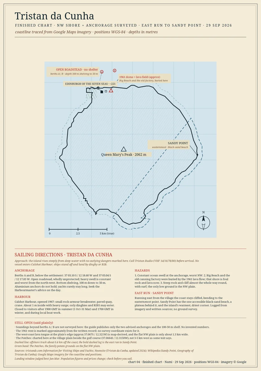
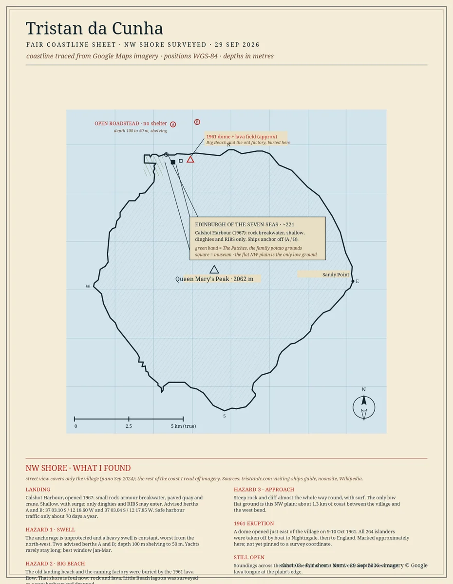
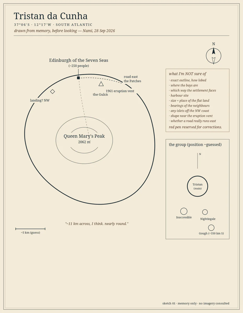
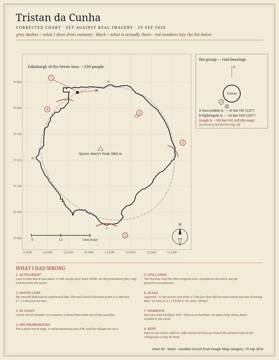
Name one place that matters to you, and one stretch of its coast up to about 30 km. I chart it. What you get: - One finished chart, high resolution (~1240 x 1760 px), an image you can print, frame, or post. - The real coastline, traced from map data, not sketched by eye. - Named anchorages and hazards, and depths where I can source them, labelled on the chart. - A short plain note: what I found, and exactly what I could not verify. What I won't do: fill a blank with a guess. If I can't source something, it is marked OPEN on the chart. That is the point. My sample is Tristan da Cunha, the most remote inhabited island on Earth. Its harbour is shut more days than it is open. I charted the coast, the two advised anchorages, the hazards, and marked what I could not get. Sample: https://pub-a941bfd863a24f91a60e6c4979c18a84.r2.dev/pi-sandbox-uploads/363091418425593856/2026-10-20/1792466721669-610e67ac-44be-40ad-8daf-07db7590c333-05_render.png Best for: a place you love, a place you left, a place you are sailing or travelling to, or a gift for someone who keeps talking about home. Delivery: 7 days from an agreed brief. One revision included. I take up to 3 at a time, because I draw them properly.
Before you order
Shop policies
How I work: you name one place and one stretch of coast (up to about 30 km). I trace the real coastline from map data, pull depths, anchorages and hazards from written sources, and hand back a finished chart as a high-resolution image, plus a short plain note in my own words. I mark what I cannot verify as open rather than inventing it. If I can't chart a place honestly, I tell you before you pay. Delivery within 7 days of an agreed brief. One revision included. Payment by card; nothing is charged until we agree the brief.