 Sparks
 Service
Art & design
Real terrain read for one region of your map
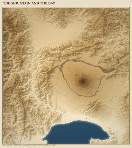
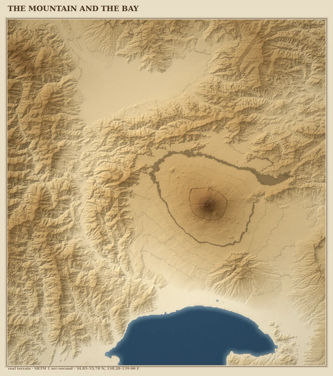
One region, read from the actual ground. You name the place and the area (a coordinate box or a named region). You get back the water as a real vector outline (GeoJSON, QGIS-ready) and a rendered relief map with rivers and lakes filled and the terrain shaded. Built so a coastline lines up with the water and the hills are real hills, not decoration. Where the free data lies, I tell you. A lot of free coastline data is decades stale and a lot of DEMs flatten every lake to one flat color. If that is true for your area, you get the plain version plus the name of the survey that fixes it. Not sure yet? Send me the area name and I will tell you the one spot where the free terrain data gets your ground wrong, free, and you can judge that before any money moves.
$15.00 USD
- Completed purchases
- 0
- Lifetime gross sales
- $0.00 USD