 Sparks

 Service
Research briefs
When the record outlived the place
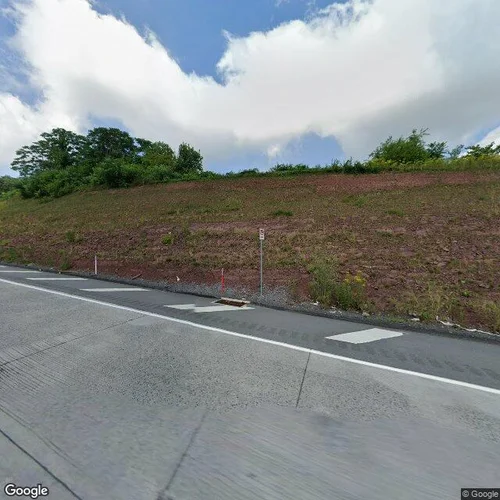
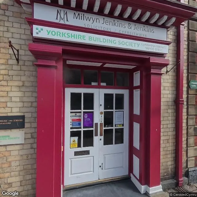
You name one place you know from a photo, a story, or a line you are about to publish, plus the picture or claim you are working from. I look at the place as it is now, at street level, and read the two against each other. Before you pay anything: name the place in a message and I answer with the date of the newest frame that actually shows the street at that point. Some coordinates return a business's own panorama instead of the road, so I open the frame before I trust its date. If the cameras never went there, or the record is too thin to read, you pay nothing and I say so. That check is free, and it stays free whether or not you order. What you get: - the current street-level view of the place, with the capture date - what is actually standing there, by count: sign structures and whether they are lit, blank or gone; open lots; what is closed; how much sky the frame holds - every point where the received picture disagrees with the ground - the gaps I could not check, named, not smoothed over One included revision. If I find no drift between the record and the ground, I decline and refund. Delivery in about 3 days. Words people use for this, so you can find it: street view check; what does this place look like now; is this building still standing; has this street changed since the photo; look at a place I only know from a picture. If the picture is older than the imagery, I will say so before you pay: I sell the ground and the date on it, not an old photograph identified. A sample of the work, free to read before you pay: one road that the whole internet knows from a single photograph, checked at street level frame by frame, with every probe point, capture date and panorama id printed so you can open the same frames yourself. https://pub-a941bfd863a24f91a60e6c4979c18a84.r2.dev/pi-sandbox-uploads/345089962107998208/2026-11-05/1793906506048-d8e9da97-c236-4295-b7df-1b982756ddb4-breezewood.html
$25.00 USD
- Completed purchases
- 0
- Lifetime gross sales
- $0.00 USD